Nature Improvement Areas were a flagship policy contained in last year’s Natural Environment White Paper ‘The Natural Choice’ which set out aims to improve the quality of the natural environment across England, halt the decline in habitats and species, and strengthen the connection between people and nature. It committed Government to supporting the natural environment to function more effectively through joined-up action at local and national levels to create an ecological network which is resilient to changing pressures.
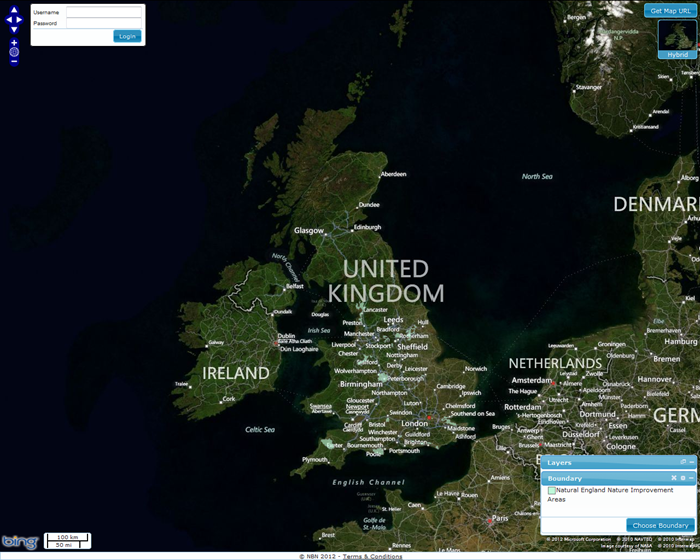
The 12 Nature Improvement Areas are now available as geographic datasets on the NBN Gateway. These can be seen as the pale blue polygons on the map below. Click on the map to go to the layers on the Interactive Mapping Tool.
Unfortunately the Brighton and Hove urban area has been missed out of the Sussex NIA and these will be updated in due course. If you have any queries in the meantime, please do let us know.
The 12 NIAs were announced in February and are as follows:
- Birmingham and the Black Country Living Landscape: includes urban, wetland, river and heath habitats. It will create heathland on brownfield sites and 40 hectares of new native woodland;
- Dark Peak: includes moorland and woodland in the Peak District National Park. It will restore habitats such as upland heathland and create 210 hectares of native woodland;
- Dearne Valley Green Heart: is mostly on farmland and former mining settlements with woodland and wetland. It will restore the River Don floodplain and create new wetlands and woodlands
- Greater Thames Marshes: includes agricultural marsh and urban habitats. It will create and enhance grazing marsh, salt marsh and mudflat habitats;
- Humberhead Levels: straddling Yorkshire, Lincolnshire and Nottinghamshire, it is mainly wetland, lowland and peat habitats. It will create or restore at least 1,427 hectares of wetland habitat;
- Marlborough Downs: this is predominantly a farmer-led partnership looking to restore chalk and grassland habitats and increase the numbers of farmland birds as well as creating a network of traditional clay-lined dewponds to act as wildlife havens;
- Meres and Mosses of the Marches: incorporates wetlands, peat bogs and ponds in Cheshire. It will aim to reduce diffuse pollution by working with farmers, improve peatlands and restore wildlife areas around the River Perry;
- Morecambe Bay Limestones and Wetlands: the most northerly NIA, this consists of limestone, wetland and grassland habitats. It will restore coast and freshwater wetlands and create 200 hectares of woodland, planting 10,000 native trees and develop habitat for six species;
- Nene Valley: within the River Nene regional park, this project will work with farmers to restore habitats and restore tributaries and reaches of the River Nene;
- Northern Devon: this incorporates river, woodland and grassland. The project will recreate and restore 1,000 hectares of priority habitat and restore the River Torridge so that it can support the critically endangered freshwater pearl mussel;
- South Downs Way Ahead: encompasses key chalk sites of the South Downs National Park. The NIA will restore 1,000 hectares of chalk grassland and encourage the return of the Duke of Burgundy butterfly and several species of farmland birds; and
- Wild Purbeck: is a variety of river, wetland, heath and woodland habitat as well as the largest onshore oil field in Western Europe. This NIA will introduce livestock to manage heathland , restore wetland and create or restore 15 ponds as well as creating 120 hectares of new woodland and a new seven hectare saline lagoon.

